Trending Now
It’s that time of year again — hurricane season. If you live on the coast, then you’re probably more familiar with the facts about these terrible storms than people who live inland, but who’s to say we can’t all learn something new now and again, right?
Below are 10 interesting facts about hurricanes that might just blow your hair back.
10. If you look it in the eye, it will tell you its secrets.
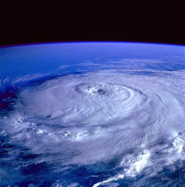
Image Credit: Pixabay
A ragged, symmetrical eye means the storm is struggling to maintain its strength, while a smooth, round one signals a strong, stable storm. Oddly though, the smaller the eye is, the more intense the storm.
9. Hurricane Hunters are a thing.
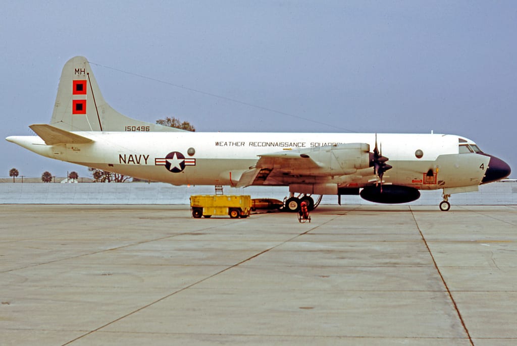
Image Credit: Public Domain
They’re basically Helen Hunt in Twister, except they fly specially outfitted airplanes into the middle of storms to measure wind speeds and other meteorological data. They also drop sensors called dropsondes inside storms to read their activity.
8. There are only hurricanes in North America.

Image Credit: Pixabay
While a mature tropical cyclone is known as a hurricane in the Atlantic and eastern Pacific Ocean, it’s called a typhoon when it appears near Asia and a cyclone everywhere else in the world.
7. The wind is only part of the danger.
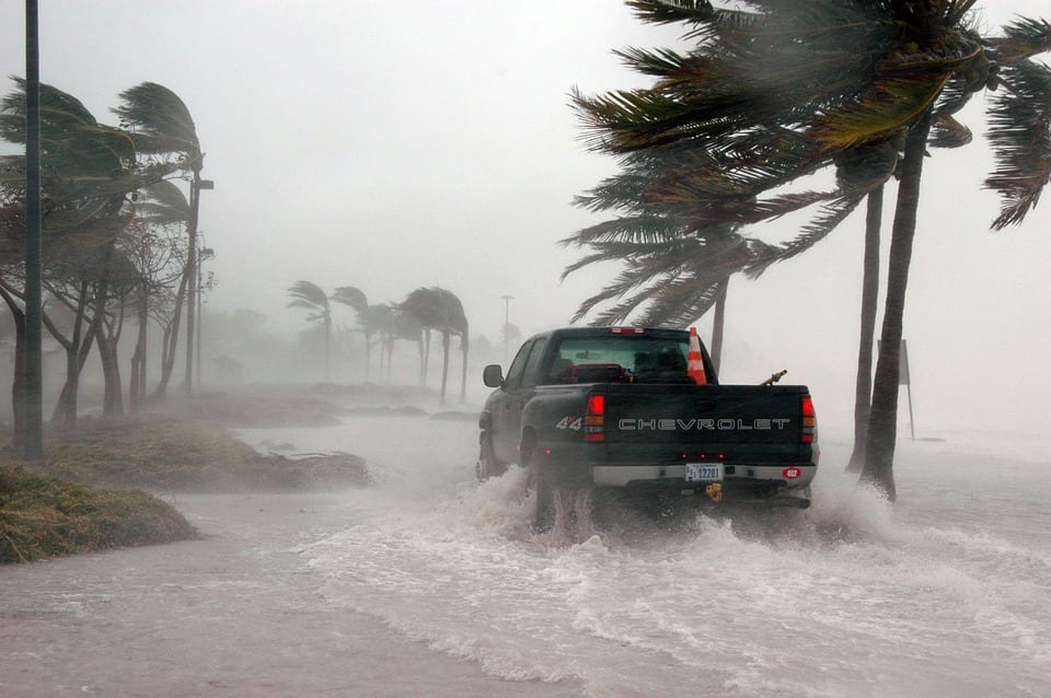
Image Credit: Pixabay
Weather reports typically focus on wind speeds, but more than half of the deaths related to hurricanes result from the storm surge, which is when the ocean water is pushed inland by the winds.
6. They get names so we can keep track of them.

Image Credit: nhc.noaa.gov
Meteorologists began naming hurricanes in the 1950s to make it easier for forecasters and news reporters to talk about them. Today, the Atlantic and eastern Pacific oceans each get a separate list of alternating names that are reused every six years.
5. The greatest danger is in the eyewall.
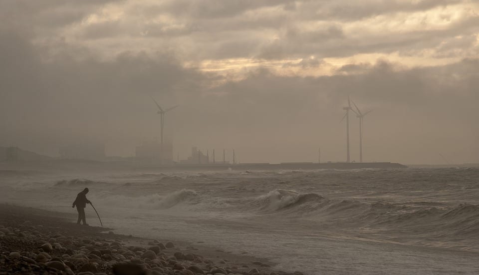
Image Credit: Pixabay
The bands of wind and rain that spiral out from the center of a hurricane cause damage, flooding, and tornadoes. But the eyewall — the tight group of thunderstorms in the center — causes the most damage with its winds when it hits the shore.
4. Hurricane Patricia is the strongest hurricane ever recorded.
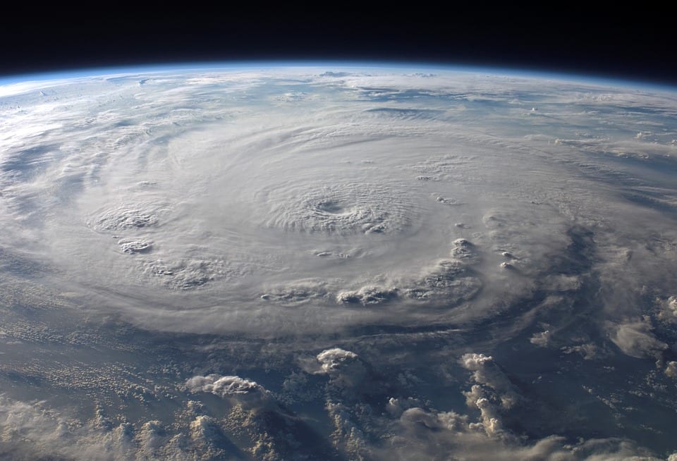
Image Credit: Pixabay
She made landfall on the western coast of Mexico in 2015 as a huge category 5, with sustained winds of 210 mph off the coast and 150 mph when she made landfall.
3. The name of a particularly bad storm is usually retired.

Image Credit: Wikipedia
There’s no use tempting fate, I suppose, which is why the names of the most destructive and deadly hurricanes are taken out of circulation. Since hurricane names first started being recorded back in 1954, more than 80 names have been retired. For example, Matthew and Otto were retired after the 2016 hurricane season, and will be replaced by Martin and Owen the next time their letters roll around.
And, in case you were wondering, yes, Katrina, Sandy, Harvey, Irma, and Maria have all also been retired.
2. The eye is warm.
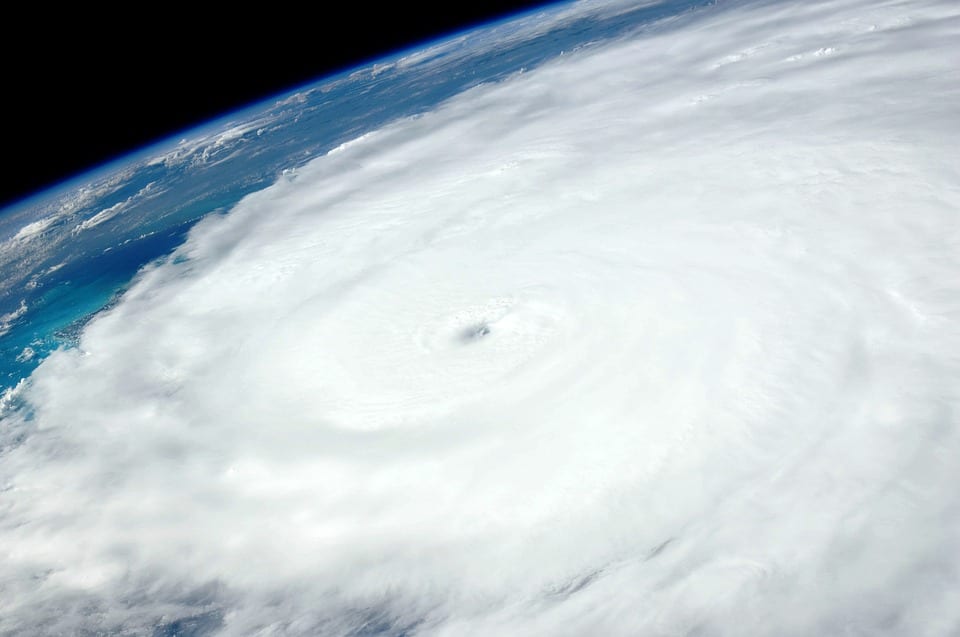
Image Credit: Pixabay
This might not surprise you considering it’s a tropical storm, but since the eye is formed by air rushing down from the atmosphere to replace low pressure that’s being sucked away from the surface, the temperatures in the eye exceed 80 degrees Fahrenheit even thousands of feet above the Earth’s surface.
1. California has different problems.
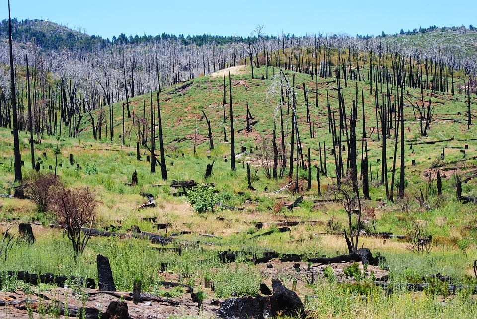
Image Credit: Pixabay
It seems a little weird that a state with hundreds of miles of coastline rarely deals with hurricane threats. While they certainly have their own issues with earthquakes and fires, to be sure, the colder temperatures of the Pacific ocean make hurricanes more unlikely. The worst one in history hit San Diego in 1858 and was only a category 1.

