
Trending Now

It might be hard to tell now, but there was a time when Great Britain was covered in forests, and they were filled to the brim with people.
Okay, well, if you know anything about Robin Hood and Sherwood Forest, this shouldn’t come as too much of a surprise – though most of us haven’t spent 30 years considering it the way environmental studies professor Ian Rotherham has:
“For millennia, the woods were at the centre of society and economy in ways which today we can barely conceive.”
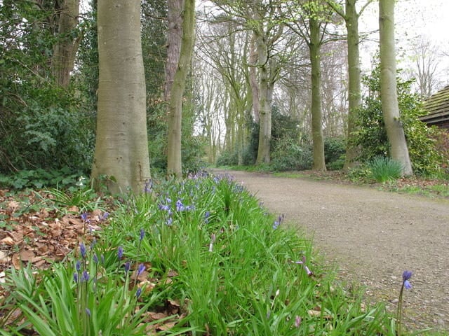
Photo Credit: Wikimedia
According to Rotherham, studying the ways in which people managed forested lands in the past can allow us to spot traces they left behind in today’s parks, fields, and cities.
But, in order to do that, we must first peer back into the way the landscapes were utilized hundreds of years ago.
In 1086, King William inventoried his kingdom’s assets, resulting in the Domesday Book, which was filled with all of his wooded commons and pastures (used for grazing livestock, harvesting firewood, and burning charcoal). Many of these spots where humans interacted with wilderness can still be identified today – Rotherham calls them “shadow woods.”
Ghost forests, however, were changed more deliberately. At the turn of the second millennium, there were large pieces of England defined as “manor waste” – land that couldn’t be easily used for farming or grazing and so was left for recreational use by anyone who needed it. That changed in 1235 with the passing of the Statute of Merton, which allowed the owners of these manors to enclose the lands and keep out the public. These are what Rotterham now refers to as “ghost woods” – the remains of private lands that were often turned into pasture.
While we can find some clues to where these forests once stood on paper – old maps, estate records, paintings, or hints gathered from the Domesday Book – others are harder to spot, and require a keen eye besides.
One way to spot these old forest locations is by knowing what “indicator species” to check for – shade-friendly plants that tend to crop up when a place has a long history of woodland cover. According to Rotherham, some good species to keep an eye out for include holly, honeysuckle, and cow-wheat.
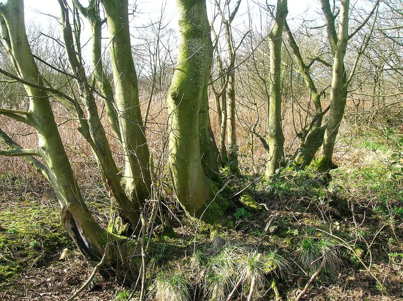
Photo Credit: Wikimedia
Trees can also offer clues. Coppiced trees often get their shape from being cut to ground level, usually in order to encourage stick-like regrowth for use as firewood. Trees with corkscrewed trunks or thin branches could mean they were once used for grazing.
Alone, these are simply indicators, but when Rotherham combines them with other archaeological, ecological, geological, and historical evidence, he can sometimes pinpoint a specific shadow or ghost wood. So far, he’s focused his studies – and his keen eye for spotting things like lumpy trees – in Scotland and England, but he points out that all landscapes have history to tell us.
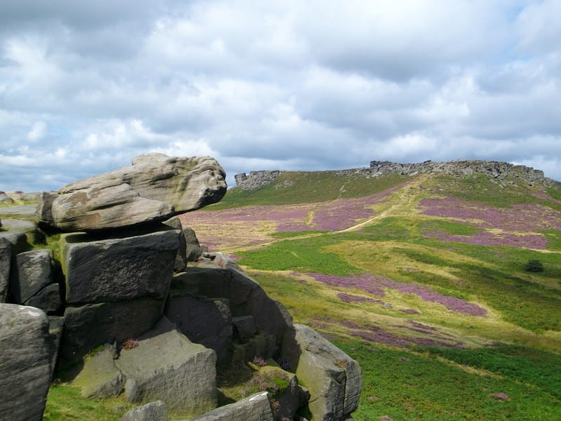
If you want to go looking on your own, he says the Peak District at the southern end of the Pennines, is a good place to start. In the Derbyshire Hills, you can find trees, gnarled by human use, that have been around for nearly a thousand years, and at Matlock, old white charcoal pits.
As Rotherham points out, “There are ghosts there. You only have to look.”
h/t: Atlas Obscura


