


Sometimes, the internet is a truly magical place. Thanks to a new interactive map, you can now look up where your house would have been 750 million years ago.
Ancient Earth is a 3D map that contains geographic information for the past 750 million years. You can type in a certain location and see how it has evolved over the course of Earth’s history, from vague blobs of land to Pangaea to the current world map. Just pick a date from zero to 750 million years ago. You can flip through the planet’s eras at the touch of your keyboard’s arrows, and even jump to certain events, like the extinction of the dinosaurs or the arrival of early hominids.
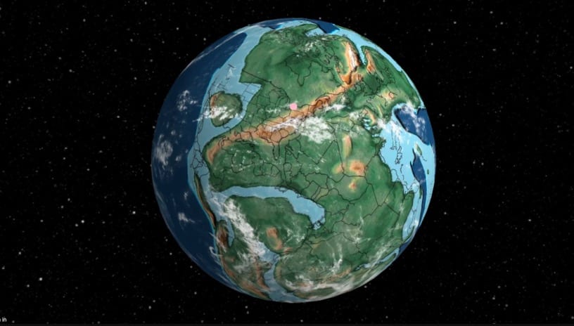
Photo Credit: Ancient Earth
The map is the brainchild of Ian Webster, curator of the world’s largest digital dinosaur database. Ian built Ancient Earth using data from the PALEOMAP Project, spearheaded by the paleogeographer Christopher Scotese.
“I’m amazed that geologists collected enough data to actually plot my home 750 [million] years ago, so I thought you all would enjoy it too,” Ian wrote in a comment on Hacker News.
The map yields several interesting insights, Fast Company reports. For example, Midtown Manhattan was situated at the center of a huge icy landmass 750 million years ago. Then, 500 million years ago, New York City was a tiny island in the southern hemisphere, and London was still part of Pangaea, sitting right next to the South Pole.
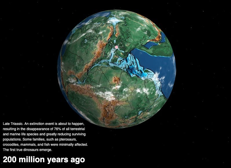
Photo Credit: Ancient Earth
You can either look up precise addresses or search for more general regions on the map. Ian says the map’s plot points should be considered approximations because “obviously we will never be able to prove correctness.”
But it’s still a fun, fascinating peek into the past.


